summerdays
Cycling in the sun
- Location
- Bristol
This was under discussion in the Snow Bollards thread but I thought if someone wanted to find it that it would be easier in a separate thread.
The name Farm Path is my name for part of the path (just seen it called the St Werburghs Link on-line) ... this whole route will eventually have a new name ... it was open to a vote back on the Better By Bike website where its is currently known as the uninspiring Northern Route. The bit I call the Farm path is shown on this page: http://maps.google.co.uk/maps/ms?ie...4621,-2.578654&spn=0.012376,0.027595&t=h&z=15 though it doesn't show the full bit of it where it joins down to the Muller Road by the railway bridge, and a separate leg which comes out opposite Shaldon Road.
The idea is for the Northern route to go up Dovercourt Road (wide fairly quiet route) and then link up with either the path that goes to the MOD from Bonnington Walk or if you go to the top of Lockleaze (on some awful concrete roads), the alternative path which comes off Romney Avenue and goes to UWE. The section you show in that link joining the two routes doesn't exist, though I imagine in the long term they will link as the housing development that is going on there effectively spreads from one path to the other.
The advantage of the "Farm Path" is that it cuts out the bump and corner where Fairfield school is plus is nice as it is beside the railway and allotments and then comes out in St Werburghs where I love passing the individually designed houses that have so much character and remind me of Europe in some ways.
Feel free to ask any questions about this area as I've explored most of it.
mgarl10024
Like this? http://www.gmap-pedo....com/?r=4200707summerdays, on 21 December 2010 - 22:19:50, said:
The path goes either side of the MOD and there is also another path that leads more directly towards UWE which is my favourite of the 3 (good views over the city and right by the woods) and can then loop down through the park by Stoke Lodge and under the M32 motorway.
summerdays, on 21 December 2010 - 22:19:50, said:
The aim of these routes is to link up with the Farm Path that goes through St Werburghs, currently it has a missing link to Dovercourt Road ... I think the new bridge to provide a link is due to be completed in Feb perhaps?
I've found St. Werburghs City Farm, and Dovercourt Road, but not the Farm Path? Sorry - I'm concious that I'm diverting the subject of your thread. I'm happy to continue this conversation privately if not useful to others, or in a new thread if needed?
The name Farm Path is my name for part of the path (just seen it called the St Werburghs Link on-line) ... this whole route will eventually have a new name ... it was open to a vote back on the Better By Bike website where its is currently known as the uninspiring Northern Route. The bit I call the Farm path is shown on this page: http://maps.google.co.uk/maps/ms?ie...4621,-2.578654&spn=0.012376,0.027595&t=h&z=15 though it doesn't show the full bit of it where it joins down to the Muller Road by the railway bridge, and a separate leg which comes out opposite Shaldon Road.
The idea is for the Northern route to go up Dovercourt Road (wide fairly quiet route) and then link up with either the path that goes to the MOD from Bonnington Walk or if you go to the top of Lockleaze (on some awful concrete roads), the alternative path which comes off Romney Avenue and goes to UWE. The section you show in that link joining the two routes doesn't exist, though I imagine in the long term they will link as the housing development that is going on there effectively spreads from one path to the other.
The advantage of the "Farm Path" is that it cuts out the bump and corner where Fairfield school is plus is nice as it is beside the railway and allotments and then comes out in St Werburghs where I love passing the individually designed houses that have so much character and remind me of Europe in some ways.
Feel free to ask any questions about this area as I've explored most of it.


 .
.


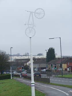
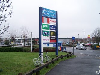
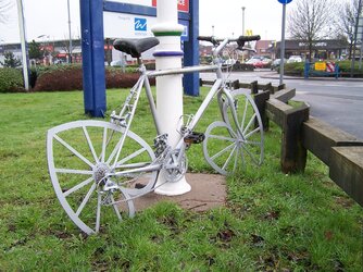
 It cost £2000 to make that sculpture I am reliably told and it was gone in 48 hours.