The CC Trig Point bagger thread, now incorporating other interesting geographs

Page may contain affiliate links. Please see terms for details.
Senior Management & myself are having a 'Long weekend' in Keswick, from Saturday 16th

Heading up via A65, so there should be lots around!!!
Particularly milestones

I intend heading back via Penrith, 'Shap' & Kendal

Lots of images to sort through (500+??)
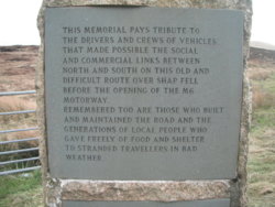
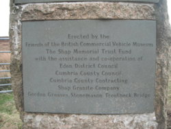
However, as Shap was mentioned

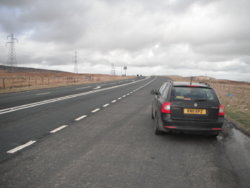
It's a bleak spot on the summit
I know all about the pre M6 days, when (practically) all traffic to the west side of Scotland went up there, & I've seen plenty of winter pictures
(& even have a book about it

Saturday 16th
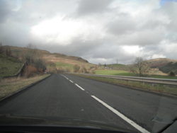
DSCF8181.JPG


DSCF8178.JPG DSCF8182.JPG DSCF8183.JPG DSCF8179.JPG


https://www.geograph.org.uk/photo/964516

http://www.rural-roads.co.uk/shap/shap1.shtml

https://shapmemorialtrust.wordpress.com/the-road-over-shap-fell/
 
Last edited:

PeteXXX

Cake or ice cream? The choice is endless ...
Location
Hamtun
May not be actual cut marks. A simpler means of measuring, check the line at the back of the post.

On both, chances are they've been done by wire.
What do you mean? No understanding...
 
Senior Management & myself are having a 'Long weekend' in Keswick, from Saturday 16th

Heading up via A65, so there should be lots around!!!
Particularly milestones
I intend heading back via Penrith, 'Shap' & Kendal

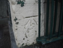
Inside the Hotel we stayed in
As you can gather, originally it was an external entrance, but is now access to a lounge area

52764725_10216725548763375_2908916895006588928_n.jpg
 
Top Bottom