Spartak
Powered by M&M's
- Location
- Bristolian
Also at Hope station this afternoon.
One I found this afternoon, whilst sorting out a few old photo-albums
Could be York, or Doncaster??
All I can offer is Spring 1986, from the dates in the album it came from
View attachment 415413
Neville Hill was the main signal box for Leeds.http://www.railwaycodes.org.uk/signal/signal_boxesl.shtm
Link above may jog someone’s memory.
Alas I can only say that when working round London Bridge we changed most of the prefix plates from ‘L’ to ‘TL’ when it was shifted down to Three Bridges but that’s no use in this case!
Will hopefully get out to see this, in the morning, at Roman Ridge Bridge, between Peckfield Bar & Hookmoor
http://www.railwaytouring.net/uk-day-trips/the-waverley-5
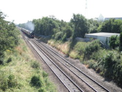
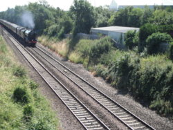
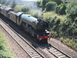
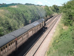
A very nice shot, and best of all the 37 is in large logo livery, which was always my favourite. It looks like it is pulling an observation coach, is that correct?
Did you get the BM on Pinders Bridge.Sunday, I rode along parts of the (closed) 'Methley Joint''
Seen here, as the blue line, & the 'dotted' pink/yellow/mauve
http://www.lostrailwayswestyorkshire.co.uk/Lofthouse Outwood.htm
And, mainly wrote up here
Here's a few photos from it though, to embellish this thread;
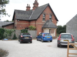
Methley South Station
I remember this as derelict
http://www.geograph.org.uk/photo/3467423
http://www.geograph.org.uk/photo/3857138
View attachment 420877 View attachment 420876
'Occupation bridge' leading to the above
Now someones garden is under it
http://www.geograph.org.uk/photo/259292
View attachment 420878 View attachment 420879
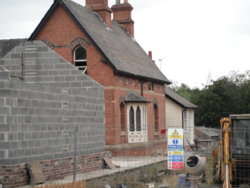
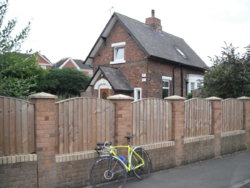
Methley Junction Station House
http://www.geograph.org.uk/photo/3468676
View attachment 420880
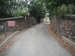
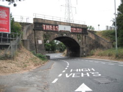
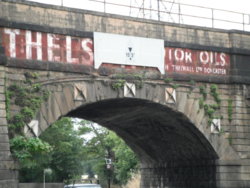
'Pinders Green' bridge
This carries the Castleford - Woodlesford - Leeds line
Behind me; the road to Castleford & Pontefract
To the right, (main-road) bend through the bridge, it goes towards Rothwell, Oulton & Woodlesford
An immediate left, after the bridge (onto WaterGate, which turns into Newmarket Lane, at HunGate) leads to Aberford Road, Stanley & (jct 30) M62
http://www.geograph.org.uk/photo/3857201
View attachment 420881 View attachment 420882
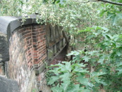
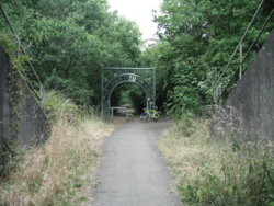
M62 bridge
This is now a section of the 'Trans-Pennine Trail'
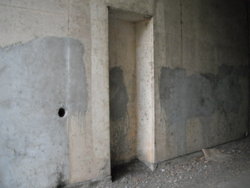
The loping structures seen, are the walls of the tunnel that carries the M62 over the line (between jcts 30 & 31)
Seen from the far (Stanley) side; left = jct 30, right = jct 31
Note the refuges cast in
The line had been lifted before the m-way was built here, but there must have been plans, with regard to re-opening it, to serve Newmarket Colliery, & rejoin the main-line, at Methley?? (the Stanley end was built on by that time)
http://www.geograph.org.uk/photo/2014436
View attachment 420884 View attachment 420883
'The Chase'
Aberford Road
Stanley
The site of Stanley Station, with a platform serving as a retaining wall
http://www.geograph.org.uk/photo/966649
Remaining platform to the left, in the first photo, here; http://www.stanleyhistoryonline.com/Stanley-Station.html
View attachment 420885
There are also a few (now) footpaths/bridleways/Leeds Country Way/ Trans-Pennine Trail sections, that are within the village that are old (colliery) wagonways, if anyone's interested...………………
Ie; http://www.geograph.org.uk/photo/1036434
No, I wasn't looking for one, but it's close enough to go back on my next days-off, & lookDid you get the BM on Pinders Bridge.

