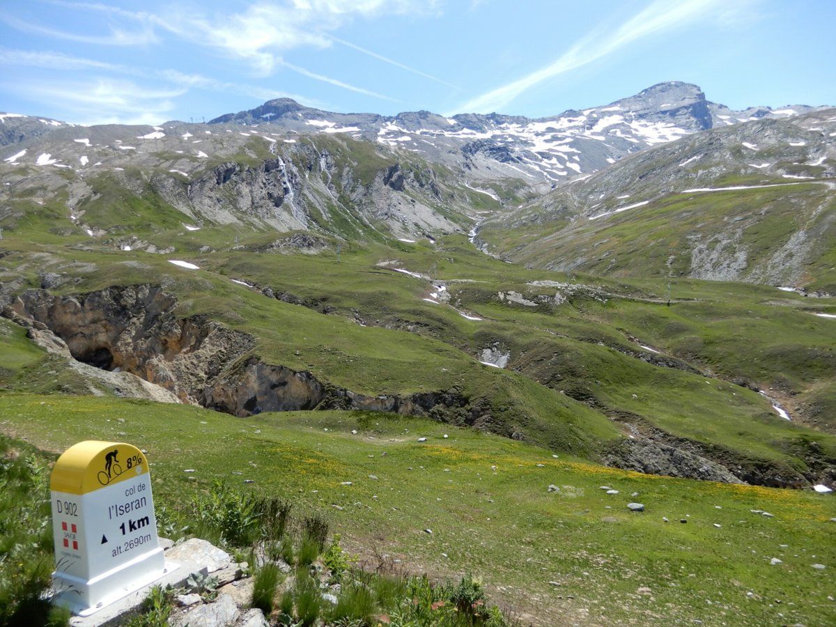
My latest cycling trip to France reached its pinnacle today, as I finally got the chance to cycle up to the highest sealed mountain pass in the European Alps i.e. the Col de l'Iseran, which at 2764m is 6m higher than the Passo Dello Stelvio in Italy.
I still think Stelvio is the better of the two (I cycled up its west and east sides 2 years ago), but today's ride was very enjoyable.
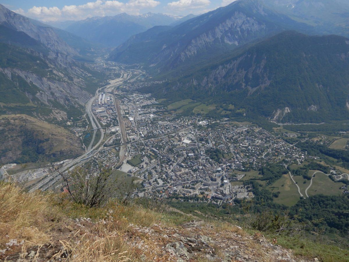
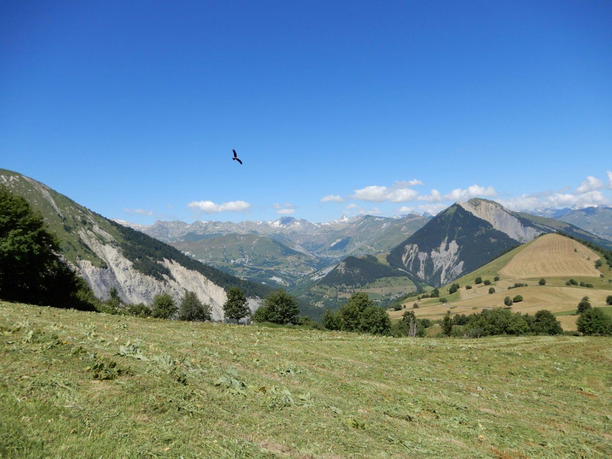
The logistics were a bit tricky, though: the Vallée de la Maurienne is very long, and the trip from the chalet down to Saint-Jean-de-Maurienne in the valley adds another 10km. It's then a bit over 70km from Saint-Jean-de-Maurienne to Bonneval-sur-Arc, which is where the roughly 14km climb to the col begins.
Fabrice (one half of the couple that own and run Chalet La Tuvière) drove me to Termignon, about 45km up the valley from Saint-Jean-de-Maurienne, and I started the ride there at 0730. About noon, I reached the col after doing about 40km of riding, mostly climbing. I left the col about 1220 and was down in Bonneval-sur-Arc at 1245. It then took me 3 hours to ride about 60km to get down the valley to Saint-Michel-de-Maurienne, thanks to a persistent headwind blowing up the valley, and the presence of 3 climbs which break up the descent down the valley:
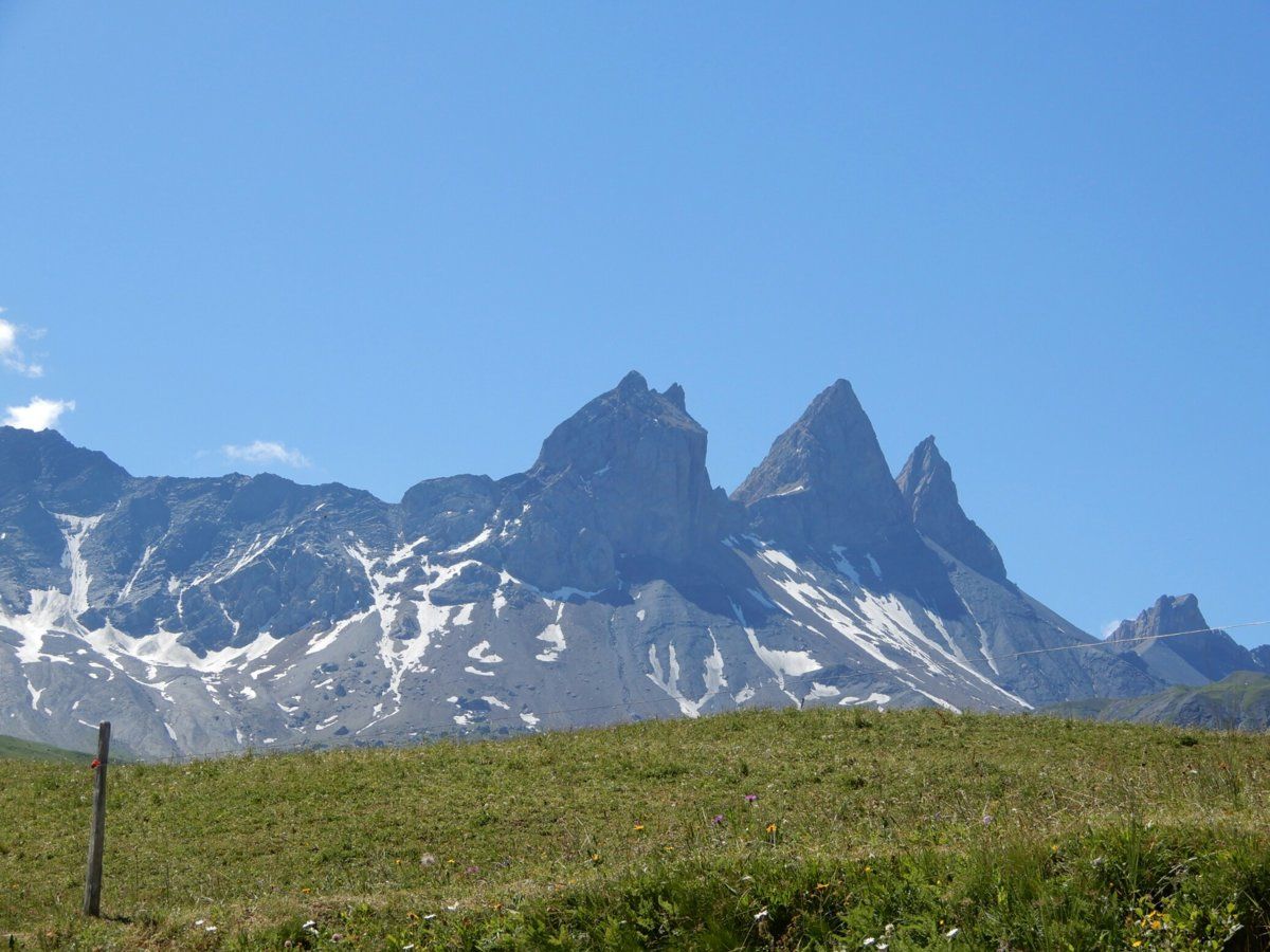
1. the Col de la Madeleine (1745m). No, it"s not the same as the famous one at 1994m and north of La Chambre that I visited twice during my time here, but another one with the same name a bit east of Lanslevillard.
2. the Pont du Nant / Saint Anne near Avrieux. This is probably one of the nicer parts of the Vallée de la Maurienne, as this bridge is on one side of the valley, and the Fort Victor-Emmanuel (built in the early 1800s) is on the other, and the valley is very deep at this point, with sheer, imposing cliffs on both sides.
3. a detour off the D1006 (one of the main roads winding through the valley). The detour is west of Freney, goes through the valley-side small town of Saint-Andre, adds a few 100m of climbing, and has been there for weeks due to some dangerous rock falls on the nearby part of the D1006.
Once I got to Saint-Michel-de-Maurienne, Jane (the other half of the La Tuvière couple) picked me up at about 1615, to spare me the final 10km (with 800m climbing) ride back up to the chalet. I still ended up riding 120km with 2150m climbing. I was back at the chalet at about 1700, with aching legs and rear, from many hours on the bike saddle.
The weather was good: no rain, and temperature in the shaded parts of the valley in the morning about 7 degrees, but it was between 15 and 20 at the col: not bad for that high altitude. It was about 30 back in the valley on my way back, though.
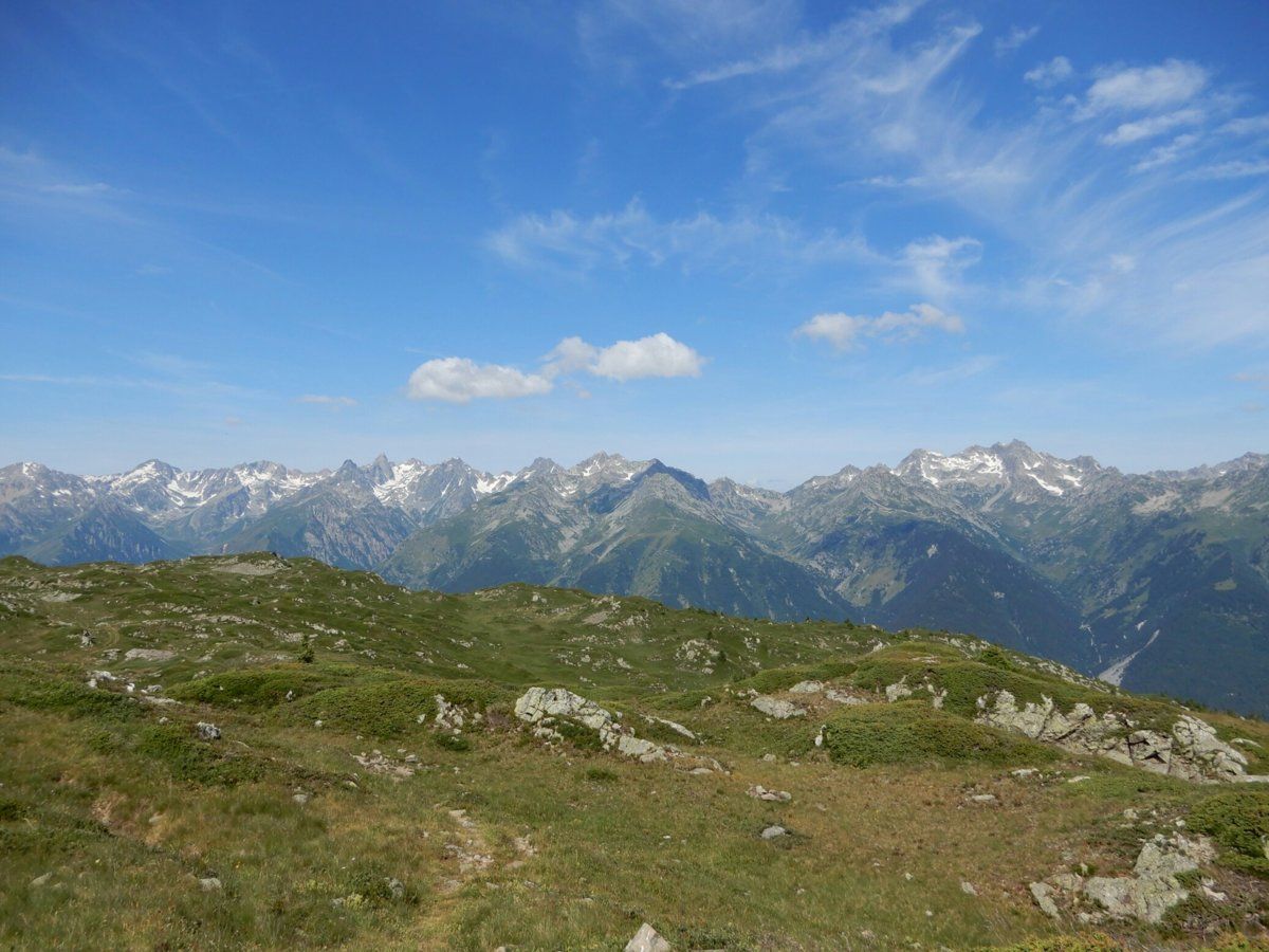
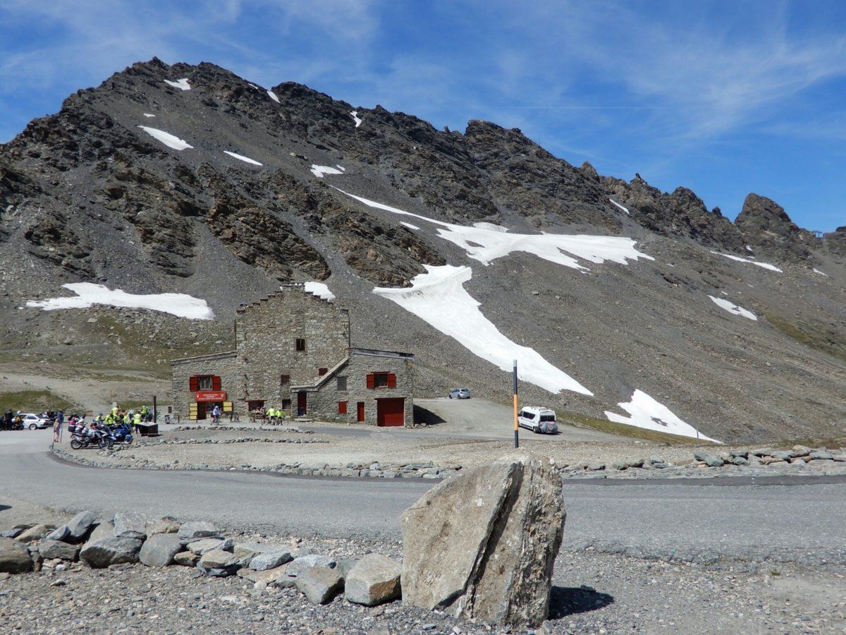
Snow patches started at about 2400m, and some large ones were near the road as I neared the col.
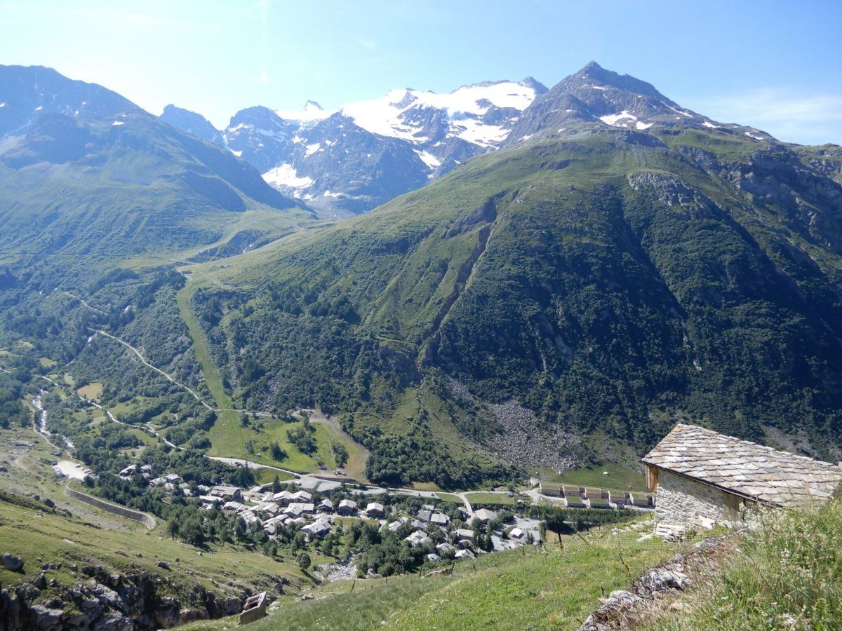
The 3 photos show the view down the Bonneval-sur-Arc from the early part of the climb up to the col, some nearby fields and peaks near the top of the climb, and the col itself.
Regards,
--- Victor.

 Obviously, I trod very carefully, because the terrain was extremely steep in parts, with gradients of about 100% i.e. 45 degree slopes. It was also very rocky in parts.