The CC Trig Point bagger thread, now incorporating other interesting geographs

Page may contain affiliate links. Please see terms for details.

Richard A Thackeray

Legendary Member
Thursday 20th
14.

Ballaugh Bridge
A3

This is the famous leap, by The Raven pub

IMG_6769.jpeg


IMG_6766.jpeg


https://www.geograph.org.uk/photo/32123


View: https://www.youtube.com/watch?v=sJ_9cASjZ4I
 

Richard A Thackeray

Legendary Member
Thursday 20th
15.

Joey Dunlop Memorial
By 'Bungalow'
Mountain Road/A18

IMG_6780.jpeg


IMG_6781.jpeg


https://www.geograph.org.uk/photo/5770908
 
Last edited:

Richard A Thackeray

Legendary Member
Friday 21st
16.
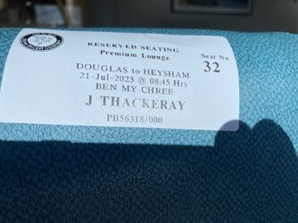
Our ferry arriving, about 05:30 (Ben My Chree)

IMG_6795.jpeg


We paid extra, once on board going to IoM, but walked to the Steam Packet offices, & pre-booked for the return crossing
It was £22/person, but all tea/coffee/biscuits/cake, was included
IMG_6802.jpeg

From our lounge, clearing Douglas harbour
IMG_6800.jpeg


IMG_6801.jpeg


IMG_6804.jpeg


Heysham approaching, Nuclear Power Station, in sight
IMG_6805.jpeg
 
Last edited:

Richard A Thackeray

Legendary Member
Tuesday 1st
1.

Wharfe Bridge
Wetherby

This carried The Great North Road, until the very early 60's
Built in the 13th Century, widened in 1773 & again in 1826
Mentions are made of contributions towards the construction in 1233, & rights of passage/tolls, in 1286

Seen from 'The WIlderness' car-park
IMG_6881.jpeg


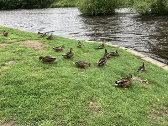
It's the fastest, I've seen it flowing for a while, seemingly too fast even for most of the Ducks!
IMG_6882.jpeg

The rebuilds/widenings, are very visible from underneath

IMG_6883.jpeg


IMG_6884.jpeg


'

IMG_6885.jpeg


IMG_6886.jpeg


The upstream side
IMG_6887.jpeg


https://britishlistedbuildings.co.u...er-wharfe-with-attached-war-memorial-wetherby
https://www.geograph.org.uk/photo/7083628
https://www.geograph.org.uk/photo/4542040
 
Last edited:

Richard A Thackeray

Legendary Member
Tuesday 1st
2.

Wharfe Bridge
Wetherby

This carried The Great North Road, until the very early 60's
Built in the 13th Century, widened in 1773 & again in 1826

Looking south ('downstream' to the left)
IMG_6889.jpeg


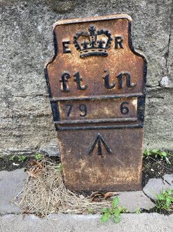
This plate is adjaecent to the green telecoms cabinet
IMG_6890.jpeg

On the same side
IMG_6891.jpeg


Looking north, the 'GNR' went straight ahead, missing the Market Place
IMG_6892.jpeg


https://britishlistedbuildings.co.u...er-wharfe-with-attached-war-memorial-wetherby
https://www.geograph.org.uk/photo/7364241
https://www.geograph.org.uk/photo/6042381
 
Last edited:

Richard A Thackeray

Legendary Member
Tuesday 22nd
1.

Hay
NewLands Lane
Normanton

IMG_7159.jpeg


In the OS map, l’m within the blue circle, looking south-west
The pond is at my ‘2 o’clock position’/where the small trees are to the right
https://www.geograph.org.uk/photo/2040381
 
Last edited:
Top Bottom