Ticktockmy
Guru
- Location
- Crawley, West Sussex
Next tuesday 7th Sept. I am off to Durness to do the other Diagonal, Durness to Dover. As I dont have to worry about any timelines, it will be interesting to see how it changes, as I wander downhill to Dover.
Here is my route, the section numbers dont relate to days, just how I worked the routes out. if anyone want the GPX files for it I can send to them.
Also any advice on any of the sections?.
Plans thus far are:
7[sup]th[/sup] Sept Night sleeper to Inverness.
8[sup]th[/sup] Sept take the Highland cycle bus to Durness.
(if the train arrives in Inverness on time, otherwise cycle to Dingwell and board the bus there on the 9[sup]th[/sup] Sept)
Sect. 1. Cycle Durness to Cape Wrath and return (Weather/Ferry permitting)
Sect. 2. Durness to Hope (A838). Hope via B road Strath More to Allnabad (31 Miles) wild camp.
Sect. 3. Allnabad, Broad to Altnaharra A836 NCN 1, South to Laig, B 864/NCN1 to Invershin Station, to Ardgay. (41.5 Miles)
Sect. 3-ALT. Allnabad Land rover track, Via Gobernuisgach Lodge, Suil a’ Bhadain Duinn, West Merkland A838/ Land rover track to Corry Kinloch, Land rover track to Ducally Lodge, B road to Rosehall. A837/B Road/NCN1 to Ardgay. (48 Miles hard day on rough mountain tracks so might wild camp near to Rosehall at the 35Ml mark).
Sect 4. Ardgay or Rosehall, A836/NCN1 to Wester Fearn, B9176 to Alness, B817 to Dingwell, NCN1 to Inverness (44Miles or 57 from Rosehall ) YHA or BB Inverness.
Sect 5. Inverness.
Sect. 6. Inverness NCN1 to Leanach, NCN 7 to Tomatin, Carrbridge, NCN Coylumbridge. (42 Miles)
Sect 7. Coylumbridge NCN 7 to Drumguish Here I have thoughts if the weather is ok, to take the road and Land rover/single-track through Glen Tromie and the Gaick pass to the Dalnacardoch Lodge to rejoin NCN/A9 then Wades road to Trinafour to Trummel bridge (49 Miles).
Sect. 8. Trummel Bridge, Kenmore, Corrymuckloch, Crief, Dunblane and Stirling. (52 miles)
Sect. 9. Stirling A9 to Falkirk, Armadale, A706/B road to Addiewell, B road/A70 to Carnwath, B7016 to Biggar. (47 Miles)
Sect. 10. Biggar B7016 to Broughton, A701 to Tweedsmuir, B Road to Cappercleuch, A708 to Gordon Arms RJ then B709/B711 to Hawick, A698/A6088 to Bonchester Bridge, B6357/B Road to Saughtree, B Road to Keilder. (74 Miles)
Sect. 11. Keilder.
Sect. 12. Keilder, Falstone, Bellingham, NCN 68/72 to Barton Mill, NCN 72 to Haltwhistle, NCN 68/72 Coanwood, NCN 68 Alston. (56 Miles)
Sect. 13. Alston, NCN 68/7 to Carigill, NCN 7/ B6277 to Middleton in Teesdale, B6277 to Barnard Castle, B roads to Richmond, B road to Catterick Bridge, B6271 to Northallerton, NCN 71 to Sutton – under – Whitestonecliffe. (72 Miles)
Sect. 14. Sutton – under – Whitestonecliffe, A170/NCN65 to Easingwold, Sutton –on-the-Forest, York, B1228Melbourne, minor road to Sutton upon Derwent, minor road to A1079/B1246, to Barmby Moor to Pocklington, NCN66 to Market Weighton. (47 Miles)
Sect.15. Market Weighton minor road to North Cave, West End, Ellerker, NCN 65 to NCN 1 Humber Bridge, Barton-upon-Humber, NCN1 to Market Rasen. (54 miles)
Sect.16 . Market Rasen NCN 1 to Lincoln, Minor roads to Marston, Barkston, A607 to Grantham. (45 Miles)
Sect .17. Grantham A52/B6403/Minor roads to Bitchfield, B1176/A151 Corby Glen, B1176 to Ryhall, Minor Roads, Uffington, Barnack, Ufford, Marholm, NCN63 Bypass Peterbough, NCN12/A15 Yaxley, Minor roads to Holme, B660/B1040 to Ramsey, B1040 Warboys, B1040/B1089/B1050 Earith, B1050 to Willingham, Longstanton, NCN51 to Cambridge .(75 Miles)
Sect 18. Cambridge, NCN11 to Sawston, minor roads to Babraham, A1307, Little Abington, Minor roads to Linton, Bartlow, Castle Camps, Helions Bumpstead, minor roads to Finchingfield, B1057 to Great Bardfield, Minor roads to Rayne, minor roads to Great Waltham, Minor roads towards Chelmsford, Writtle, Stock, B1007 to Billericay, Minor roads to Gravesend. (73 Miles)
Sect.19. Gravesend NCN1 to Rochester, Gillingham, Sittingbourne , Faversham, Whitstable, Canterbury. (51Miles)
Section .20. Canterbury NCN1 to Dover. (18 Miles).
Total Map Road miles: 823

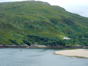
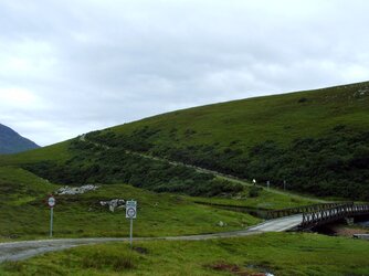
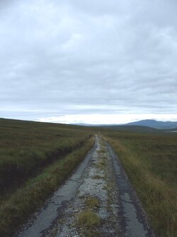
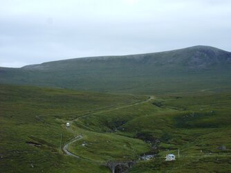
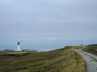
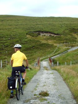
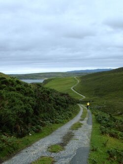
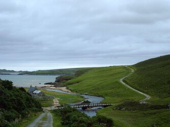

 glad those photos were of help more info here..